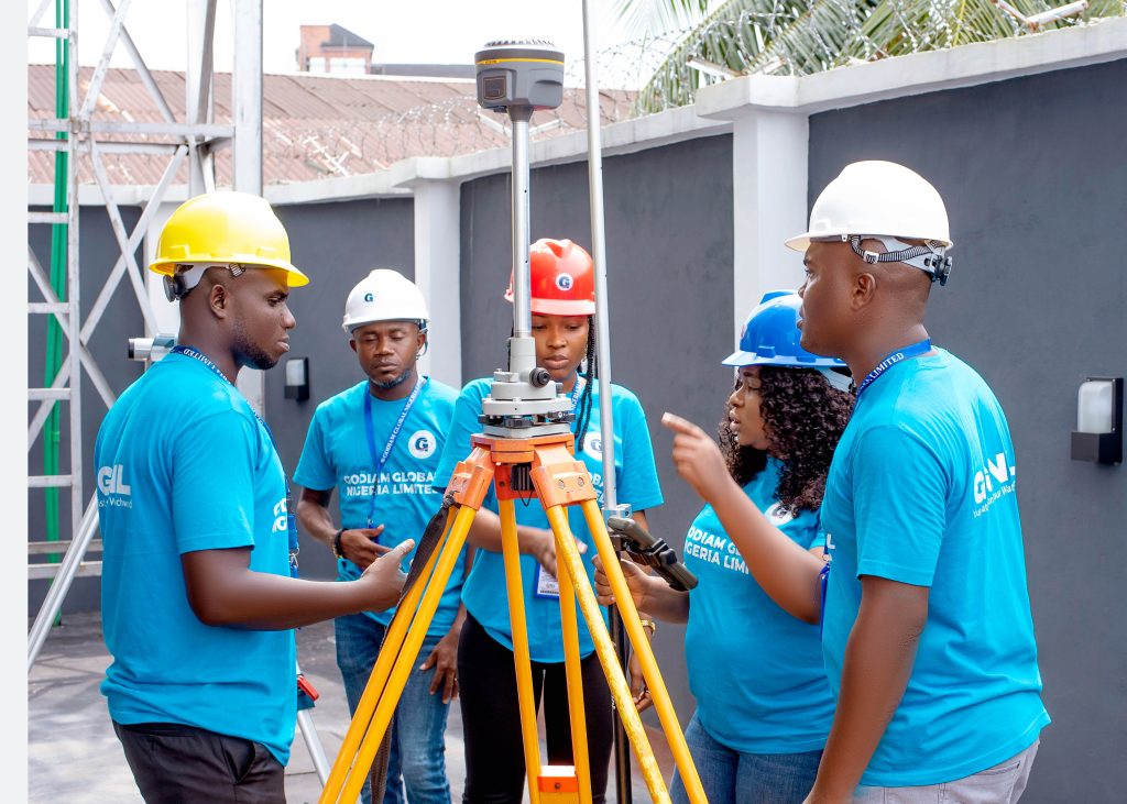
GODIAM GLOBAL has experience and expertise to provide technologies and services related to the managing of geographically reference information, specifically in, MAPPING, SURVEYING AND GEOGRAPHICAL INFORMATION SYSTEM. (GIS)
The company supplies services in the field of acquisition processing interpretation, storage, retrieval and maintenance of geographical data.
The service range from conventional land, Swamp Geophysical and Hydrographic Surveying to Digital mapping project, Geotechnical Engineering, Computer Aided Drafting, GIS, Remote Sensing and photogrammetric technologies
We conduct surveys and geotechnics on Land, Swamps and offshore using latest technologies. Various level of expertise is available in Geodesy, Hydrographic surveying, and underwater Engineering, Geophysics Geotechnical and Computer services.
Our client include oil & Gas companies and Oil & Gas service companies, Dredging companies, utilities companies, Government agencies, planners, Engineering contractors and individuals involved in making decision regarding the use of land environment resources, depending on complete and accurate survey data.